Smart Flood Route Navigator | Real-time Flood Level Alert System
Overview
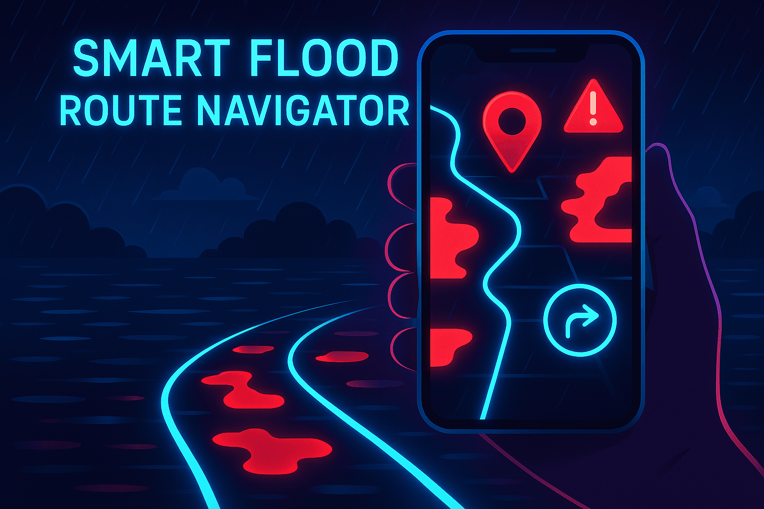
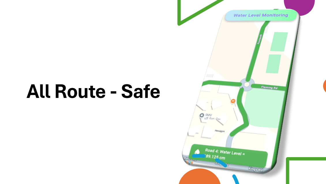
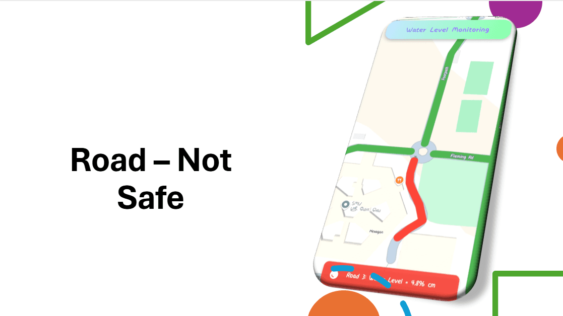
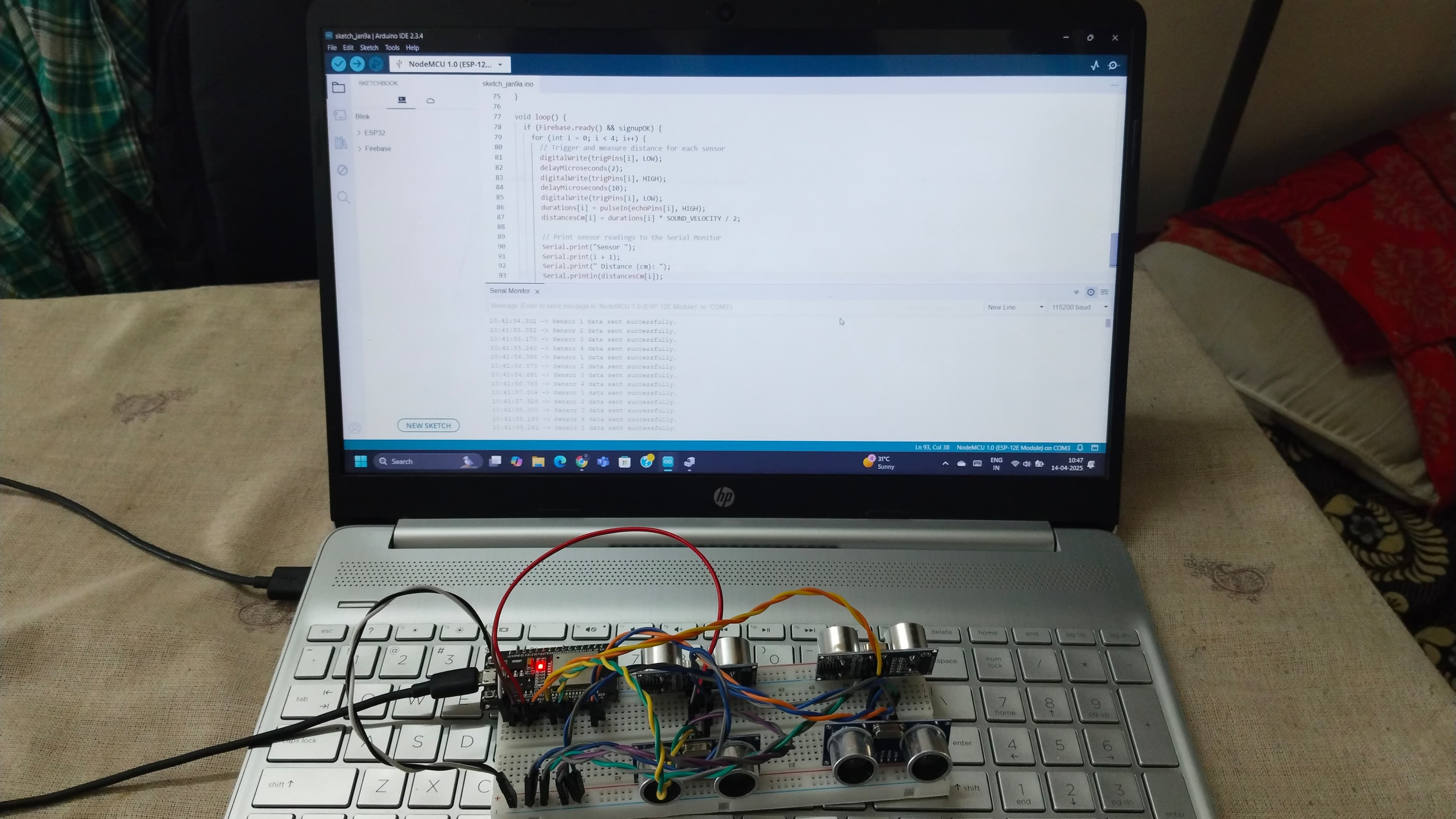
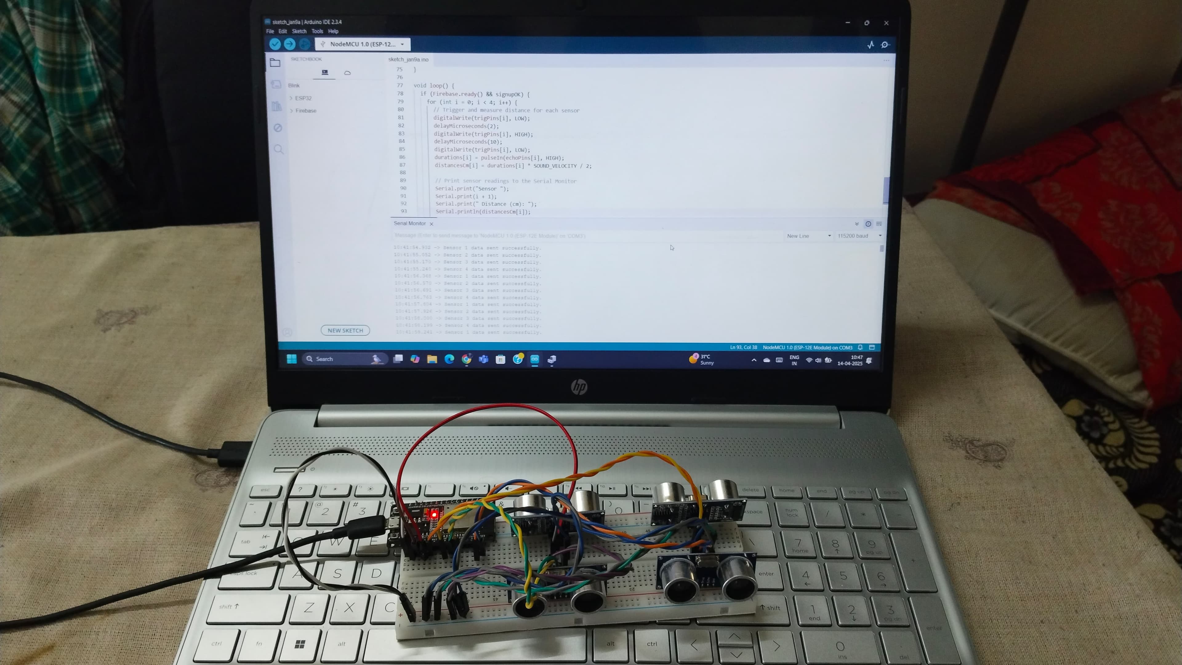
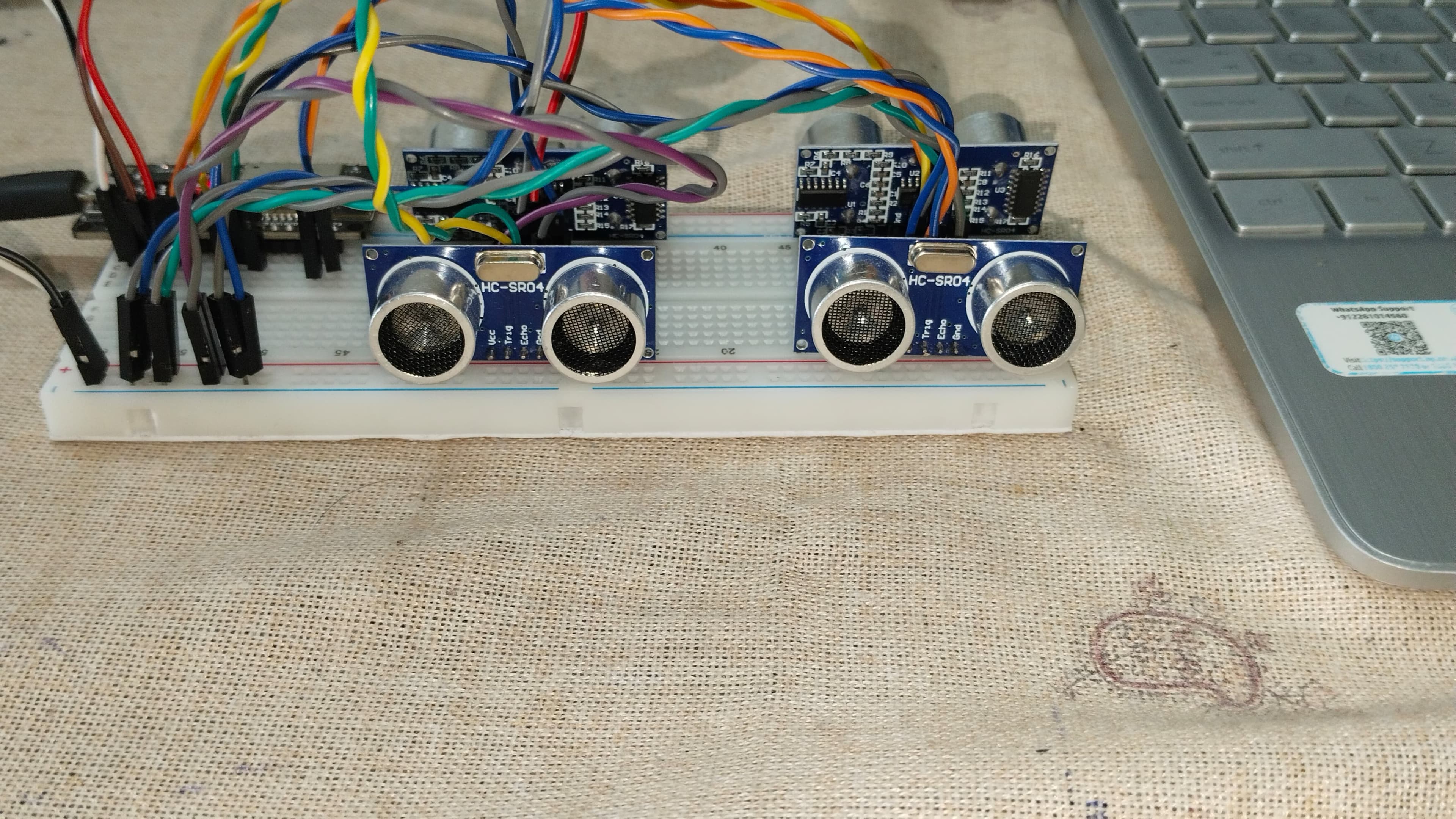
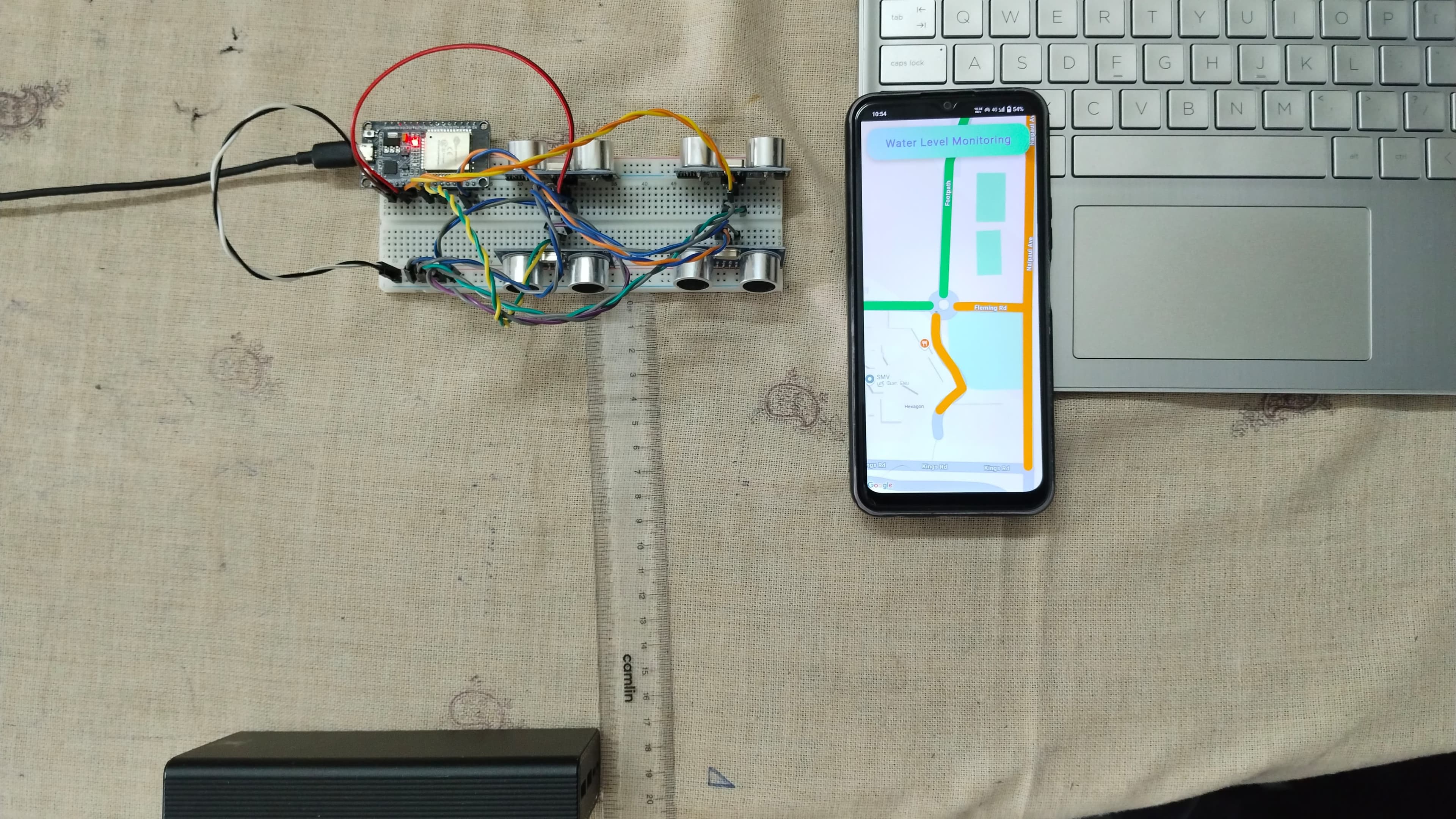
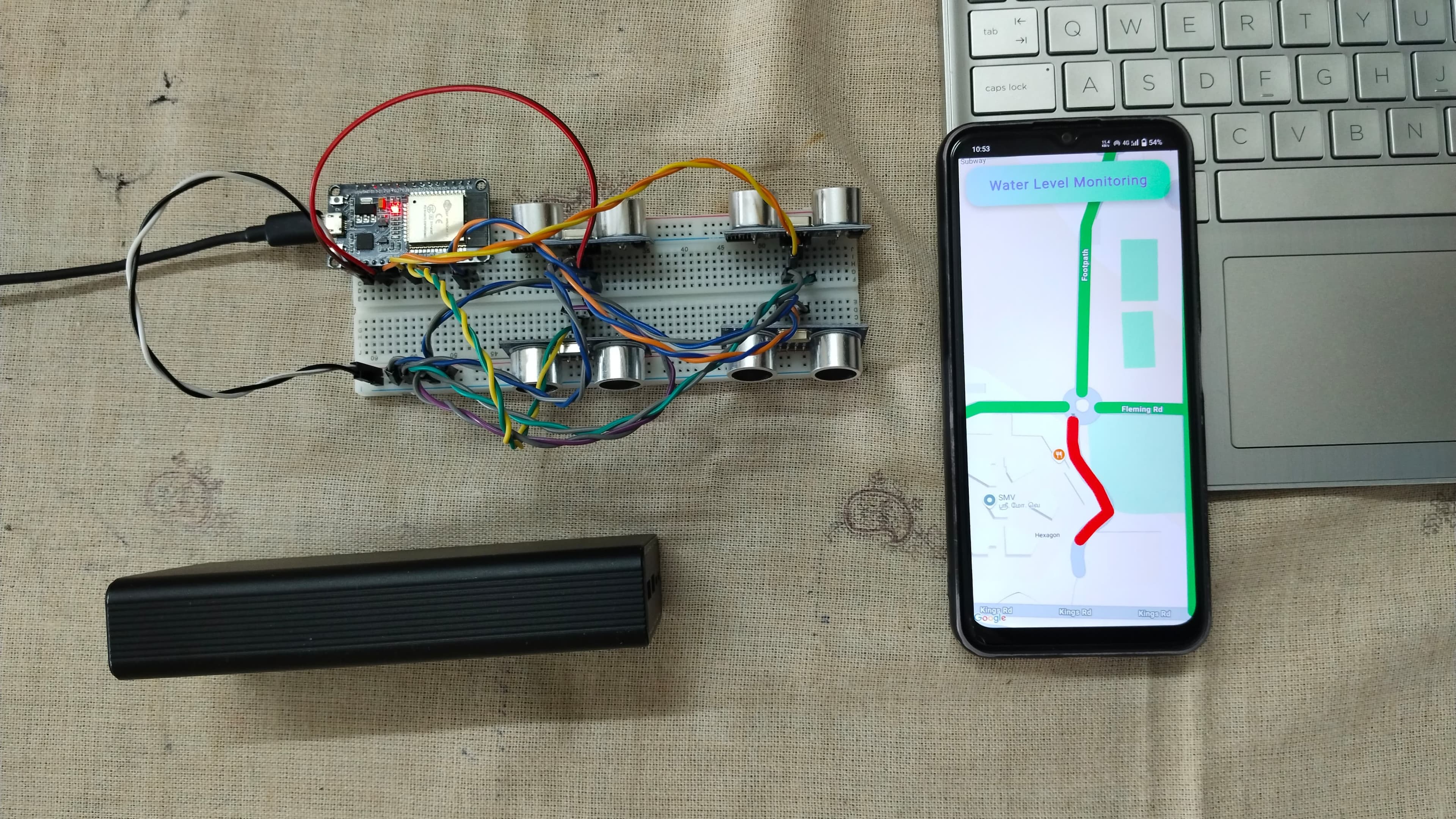
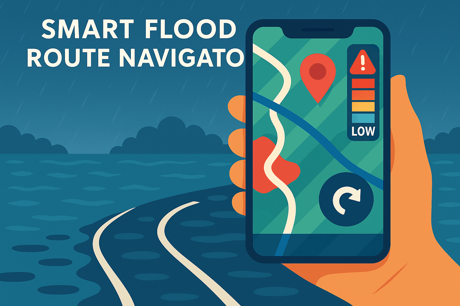
This project aims to provide a real-time solution to people who face road safety issues during rainy seasons. Built using ESP32 and Firebase, water levels on roads are continuously monitored using ultrasonic sensors. These levels are uploaded to the cloud, and the mobile app visualizes them on a map. The app then recommends safer, flood-free routes—making it an essential tool for daily commuters and emergency services like ambulances. With live updates, push alerts, and route optimization, this system ensures people can travel more safely and reach their destination without delay, even during extreme weather conditions.
Flood Route Navigator Demo
Demonstration of how the app helps users find the safest routes during floods using real-time water-level data from sensors.
Gallery